Alto de Garajonay from El Contadero: A Short Summit Walk
A 2.5 km loop to La Gomera's highest point, with stepped and paved paths, open hillside and views towards Tenerife. Includes our walking video and route map.

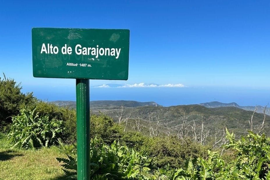
Alto de Garajonay is a satisfying way to reach the top of La Gomera without devoting the whole day to getting there. The road to El Contadero does most of the climbing for you. From the car park, it's a short walk through woodland and open hillside to views across the island and over the sea to Tenerife.
The 2.5 km Route 7 loop still makes you earn the last bit, with a stepped climb on the way up and a broader paved path back down. We'd choose this one for a clear morning, leaving plenty of the day for exploring elsewhere. You can stand on La Gomera's highest point and still have a fairly leisurely lunch.
The walk at a glance
- Route: Route 7, a loop from El Contadero with a shared start and finish
- Distance: 2.5 km total
- Time: Allow 1 to 1.5 hours, including time at the summit
- Ascent: About 110 m
- Difficulty: Easy to moderate, with a steep stepped section
- Start: El Contadero parking area, GM-2, around km 24
- Summit: About 1,485 m above sea level
Walk with us
Join us on Route 7 in our Happy Backpack video, from the stone-paved start to the steps and summit views.
Getting to El Contadero
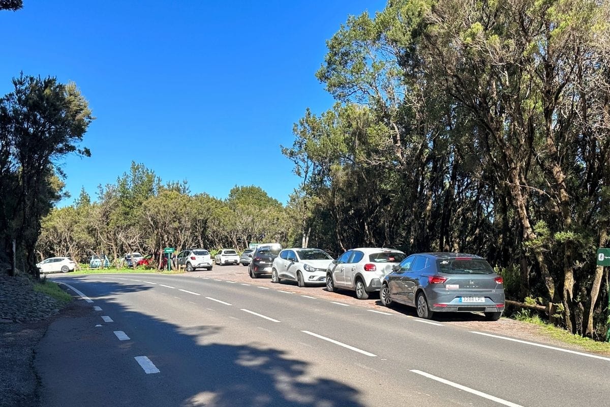
El Contadero is beside the GM-2, around kilometre 24, in Garajonay National Park. Look for the roadside parking area and the stone-paved path climbing from the opposite side of the road, signed for Alto de Garajonay.
There aren't many parking spaces, so arriving early helps, particularly on a clear day when the summit is likely to be popular. Once you've parked, the start is close at hand.
Travelling by bus? GuaguaGomera's Line 1 serves Cruce de Pajarito, the start of the longer Pajarito approach, rather than this El Contadero loop. Use the Line 1 timetable to plan the journey; its departure times are from San Sebastián and Valle Gran Rey, not from Pajarito.
Route map
The national park's Route 7 map shows the shared path from El Contadero and the loop around the upper slopes.
From the road to the summit
The paved path and first climb
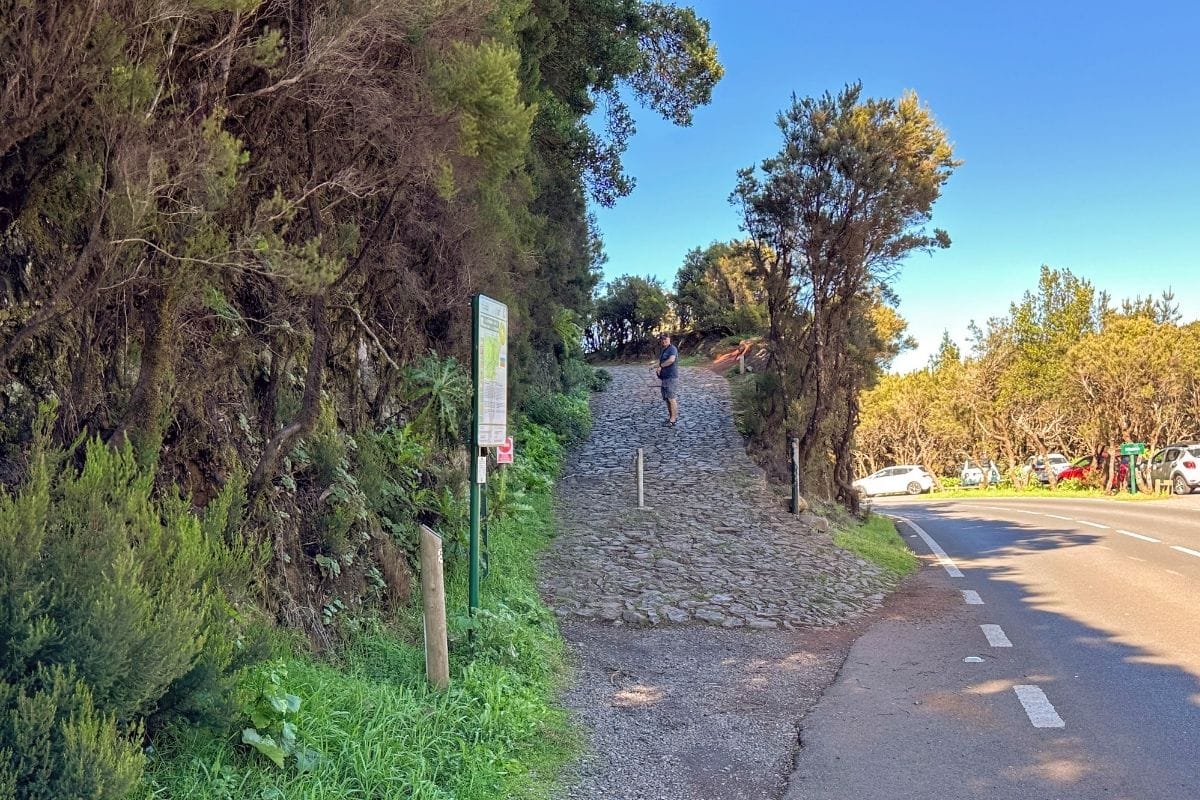
The climb starts straight from the road on a broad, stone-paved path, with trees and a fern-covered bank beside you. Follow the signs for Alto de Garajonay as the path gains height and leaves the parking area behind.
This isn't the enclosed, mossy forest you might picture when you think of Garajonay. The woodland opens up as you climb, with gaps between the trees and glimpses across the slopes. There's a changing view to enjoy before you reach the top.
Taking the stepped path uphill
At the fork, take the left branch for a clockwise circuit. The broad paving gives way to a narrower earth path with built-in steps, heading more directly uphill towards the summit.
This is where the legs notice that you're climbing a mountain, even a conveniently short one. The steps and uneven ground need more effort than the modest distance suggests. We'd take this branch uphill and save the broader paved path for the descent.
For a gentler alternative, keep right at the fork and follow the paved path up, returning the same way. You avoid the narrower stepped section, although there's still a climb and the stone surface isn't smooth throughout.
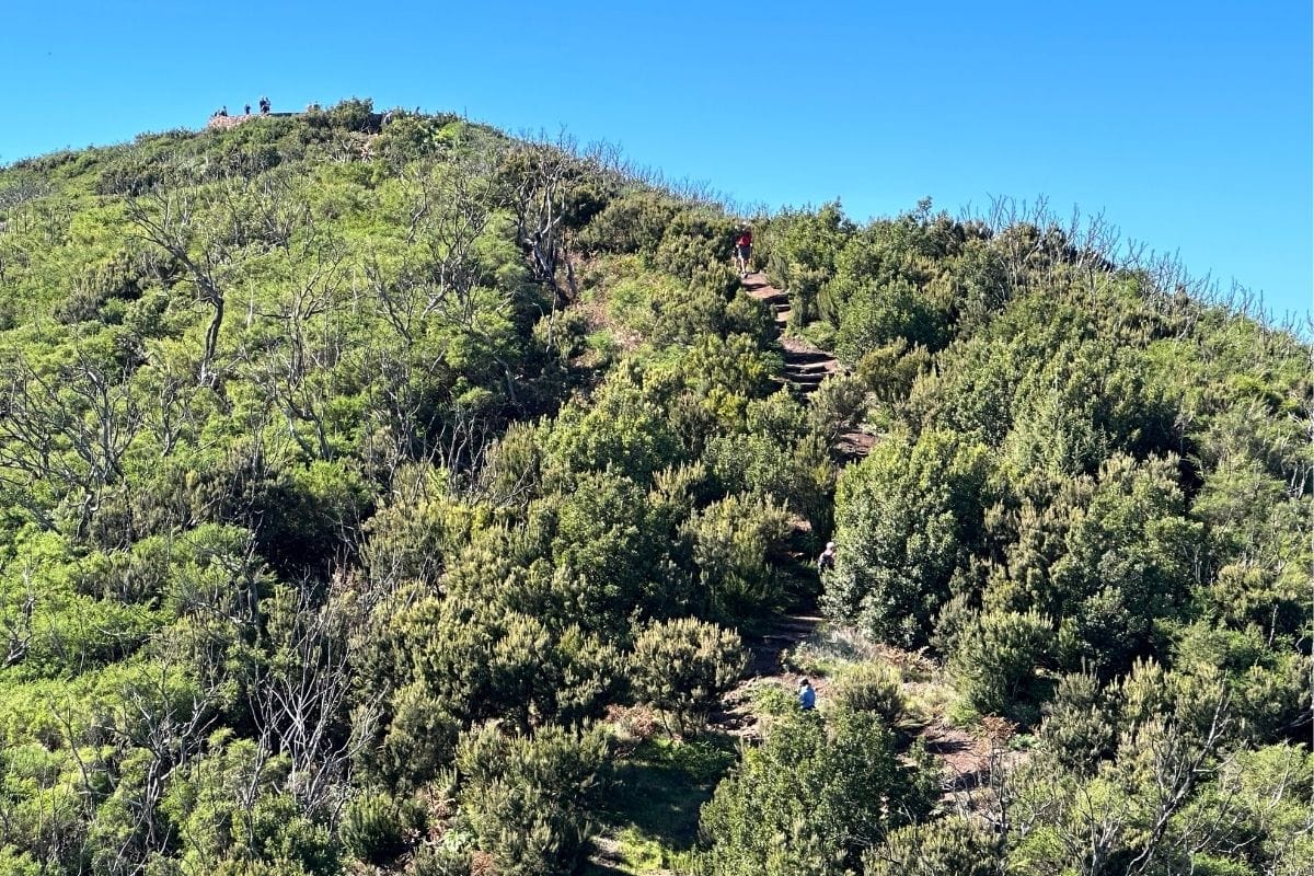
The young woodland here reflects restoration work following earlier pine plantations, and the slopes were also affected by the 2012 fire. It helps explain why this part of the park looks so different from the older forest, with low vegetation and much more open ground.
At the top of La Gomera
The summit is about 1,485 m above sea level. In clear weather, the panorama takes in La Gomera's ridges, valleys and coastline, with Mount Teide rising across the water on Tenerife. La Palma and El Hierro can also be visible; Gran Canaria needs exceptionally clear conditions.
Teide is the one that draws the eye: a mountain on another island, rising beyond a broad stretch of sea. It's a good reason to linger at the top rather than turn straight round. Cloud or calima can hide the distant islands, so visibility makes a real difference here.
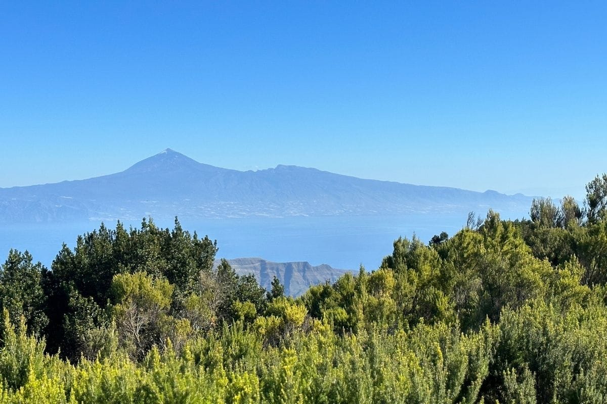
There's more to the summit than the view. Archaeological remains mark a ceremonial site used by La Gomera's Indigenous inhabitants, long before anyone arrived to take a summit photograph. The interpretation adds some context to the place you're standing.
Returning to El Contadero
Leave the summit on the wider paved route and follow the signs for El Contadero. Coming down this way completes the upper loop and gives you a different view of the slopes, without having to descend the steps you climbed.
The two branches meet again below the summit. From there, retrace the first section to the road. Several longer routes also reach the top, so keep El Contadero in mind when reading the signposts.
Before you go
Bring a light windproof or warm layer: the exposed summit can feel quite different from the sunny coast you left behind. Shoes with grip are useful on the steps and stone paving, especially when damp.
The upper slopes have only intermittent shade, and there are no refreshments along the walk. Bring water, sun protection and a snack if you fancy a pause at the top. Weather-related restrictions and access changes appear on the park's live notices page.
Longer routes to Alto de Garajonay
Route 17 from Pajarito is a 4.5 km circular walk and the more convenient choice if you're arriving on the Line 1 bus.
Route 14 from La Laguna Grande is a different proposition: about 10 km, with the park allowing five hours. That's the option for a longer day in the uplands, with the summit as part of the outing.
Our take
El Contadero would be our choice for a short summit walk. There's enough variety in the paths and scenery to make it an enjoyable outing, and it leaves time for a stop at Mirador de Igualero afterwards.
If the top is buried in cloud, we'd head into the forest at Las Creces and save this one for another day. Alto de Garajonay is at its best when you can settle at the summit and pick out the islands across the water. There's no prize for getting back to the car ten minutes sooner.