Las Creces, La Gomera: A Walk Through the Misty Forest
Our Las Creces forest walk in Garajonay: Route 5 details, parking, an official map, photos and video, with advice for damp weather.

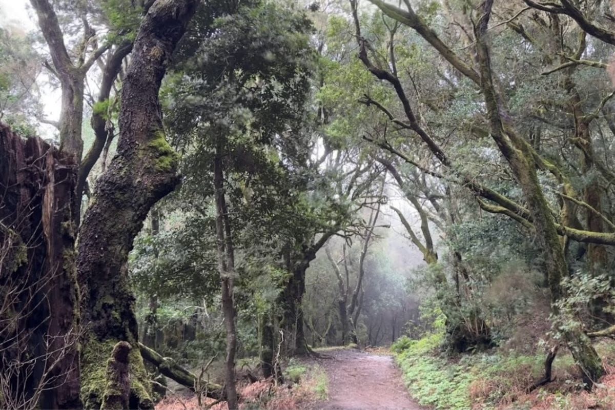
We didn't begin Las Creces with especially high expectations. It was cold and wet, there were no big views to look forward to, and the weather couldn't quite decide between horizontal rain and fog. An enthusiastic start.
Then we got into the trees. Mist drifted through the forest, moss covered the branches and bright ferns stood out against the gloom. We ended up enjoying the peace and birdsong far more than we'd expected. Las Creces is a good reminder that a walk doesn't need a summit to stay with you.
The walk at a glance
- Route: Route 5: Las Creces, also called La Cañada del Jardín
- Distance: About 4.5 km, including the approach to the circuit
- Ascent: About 80 m
- Time: Allow 1.5 to 2 hours
- Difficulty: Easy overall, with some steps, roots and muddy stretches
- Start and finish: Las Creces on the GM-2, around km 31
The route figures follow the national park's Route 5 information and track. Your time will depend more on stops and conditions than the modest amount of climbing.
Our Las Creces video
The Happy Backpack video shows the forest walk and the atmosphere that won us over. It is a better introduction to Las Creces than a photograph of a distant mountain would be.
Getting to the trail
Look for the Las Creces start around kilometre 31 on the GM-2. The trail heads south from the road, opposite the stone bus shelter. Use the available roadside parking without blocking the entrance.
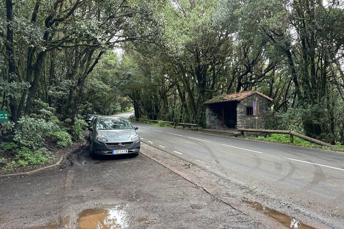
From here, a broad path leads down towards the picnic clearing. This approach is part of the outing, so don't add it again to the 4.5 km route distance.
Walking the Las Creces circuit
Down to the picnic clearing
The first stretch is straightforward walking on a wide track. Trees soon take over the view, and the picnic area appears after roughly 700 metres. On a dry day it would make a pleasant place to linger; our weather favoured keeping moving.
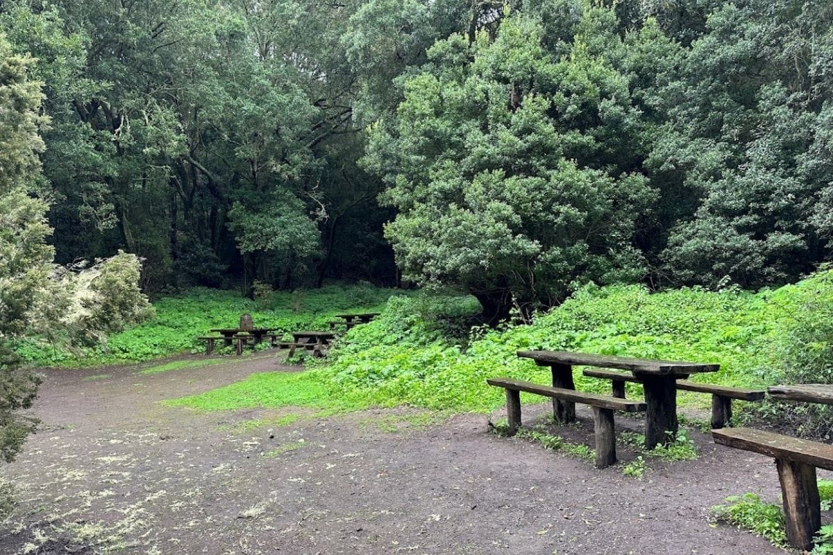
We walked the loop anti-clockwise from the clearing. Follow the Route 5 markers at the junctions: other paths head towards Las Hayas, and they are not all part of this circuit.
Roots, steps and a greener second half
The path narrows in places, with roots underfoot and short flights of steps. In wet weather, this is where to slow down. The surface changes often enough that the easy opening track doesn't tell the whole story.
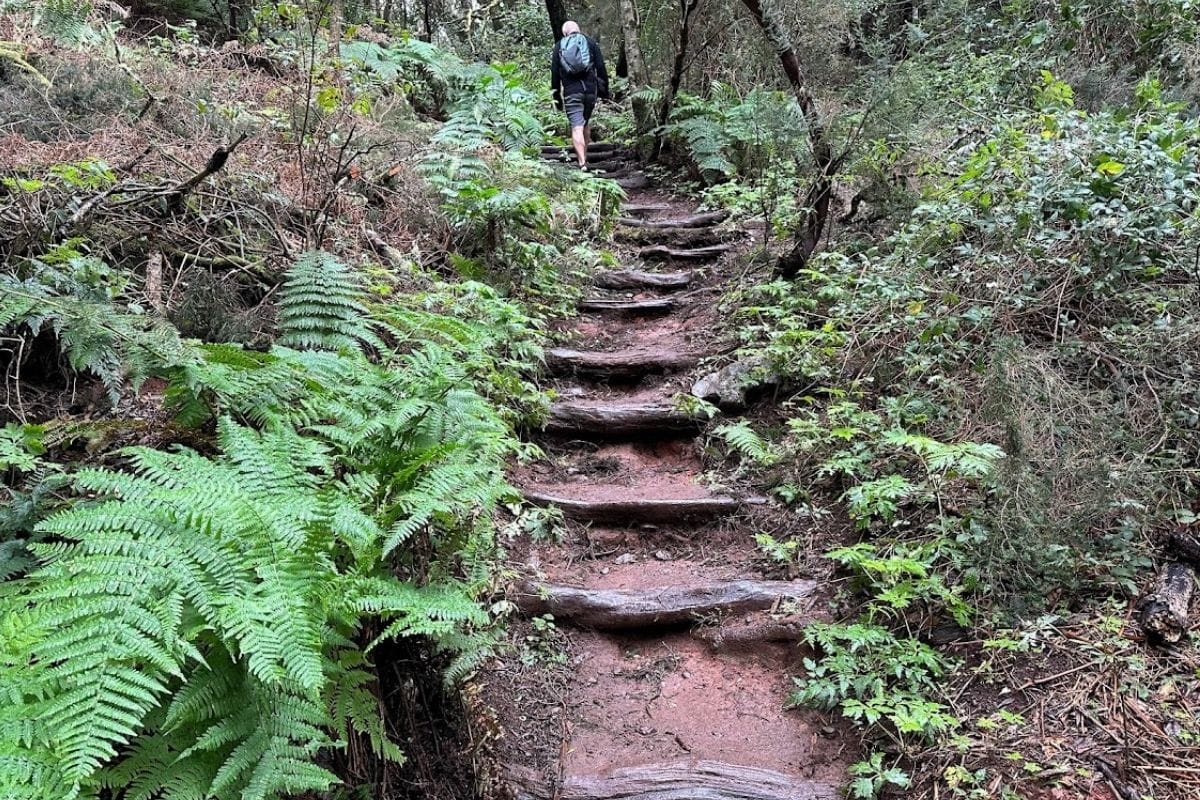
Later, the walking becomes broader and more level again. We particularly liked the ferns here, bright against the darker trees. With mist moving between the trunks, the forest felt much more interesting than our damp start beside the road had suggested.
The circuit brings you back to the picnic clearing. From there, retrace the approach to the GM-2. There isn't a dramatic final viewpoint; the woodland has been doing the work all along.
Planning around the weather
Shoes with grip and a waterproof are useful here, along with a warm layer. Garajonay can feel cold when the coast is comfortably sunny. Take water and anything you want to eat, as there are no refreshments on the route.
Ordinary mist and drizzle can suit this walk, but that doesn't make it an all-weather option. Check the park's access notices and forecast, especially when strong wind or heavy rain is expected.
Nearby Raso de la Bruma is a shorter circuit with a viewpoint, while Cañada de Jorge offers another forest loop. Each has its own signed start; use those rather than improvising a connecting route.
Las Creces surprised us. We set off thinking the weather had taken most of the enjoyment out of the day, then found that the damp forest was the thing we liked best. We still recommend a waterproof. Atmosphere only keeps you warm for so long.