Montaña de las Negrinas, La Gomera: A Walk from Pajarito
Our shorter Negrinas loop from Pajarito, with forest paths, sea and Roque Agando views, plus the map for the longer official Route 16.

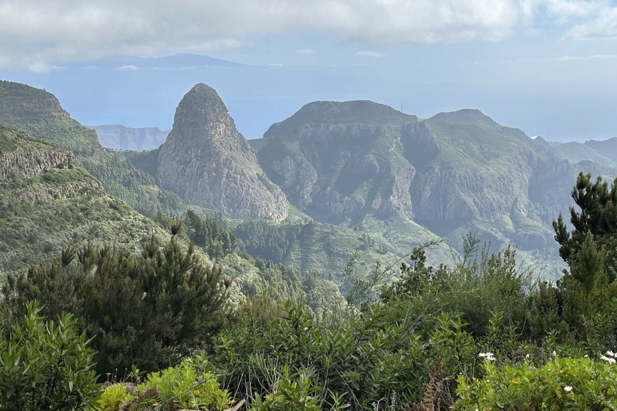
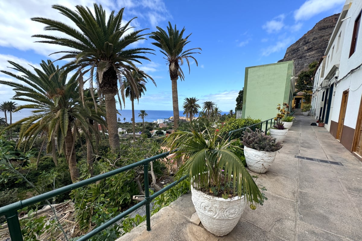
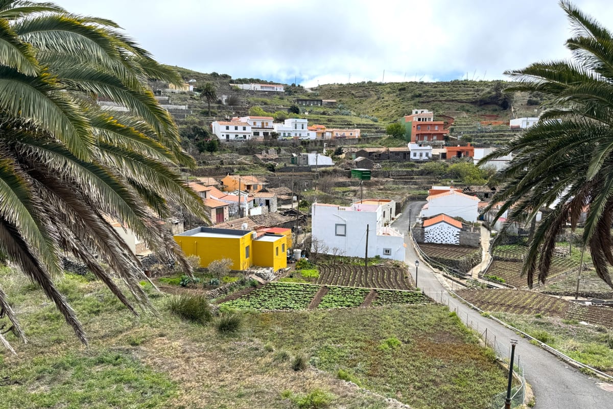
Montaña de las Negrinas gives you more open sky than many of Garajonay's forest walks. The route moves through trees and shrubs before opening towards the sea, with Roque Agando appearing across the landscape.
We walked a shorter circuit from Pajarito that used part of Route 16. Much of it was broad and easy going, with narrower, steeper sections towards the end. It is a good choice when you want a few hours on foot with changing scenery rather than a climb to one summit.
The walk we took
- Start and finish: Pajarito, at the GM-2 and CV-13 junction
- Distance: About 6 km for our shorter loop
- Ascent: About 180 m in our original walk notes
- Time: Allow roughly 2 to 2.5 hours
- Difficulty: Easy to moderate, with some steeper and narrower sections
- Route: A shorter variation using part of Route 16
Our 6 km circuit is not the complete signed Route 16. The current official Pajarito - Ajugal - Pajarito track is about 7.5 km, and its map appears below as a separate, fully mapped option.
Starting at Pajarito
Pajarito is at the junction of the GM-2 and CV-13, around kilometre 23 on the GM-2. We started from the small parking area, taking the path through the trees at its back right-hand corner and following Route 16 signs.
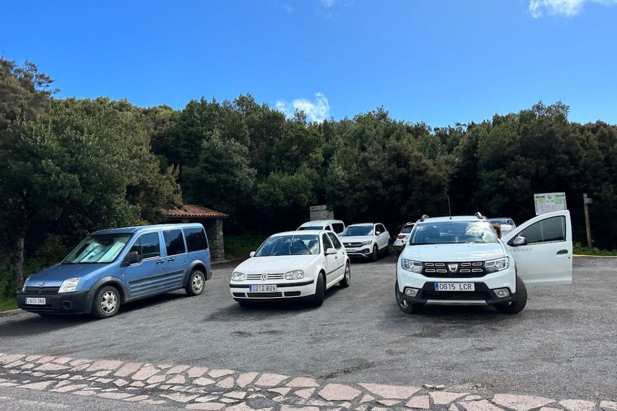
Several routes use this junction. Check the number and destination: the route towards Alto de Garajonay is a different walk, despite starting close by.
Through the trees and out towards the sea
The opening stretch is a comfortable introduction, with broad paths and plenty of greenery. Our shorter variation left the full Route 16 after roughly 1.5 km. That turn is part of the variation, not a direction to apply to the official map below.
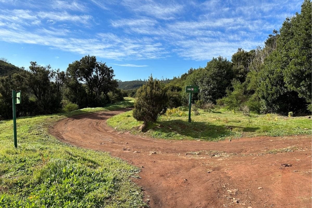
We originally found the shorter walk under Montaña de las Negrinas on AllTrails. Before choosing it, identify a current track with the same start and distance; the description here is an account of the walk, not a replacement for that track. If you don't have the shortcut mapped, use the complete official circuit instead.
After the more enclosed beginning, the outlook widens towards the ocean. Trees and shrubs still line parts of the trail, but the distant sea changes the whole feel of the walk.
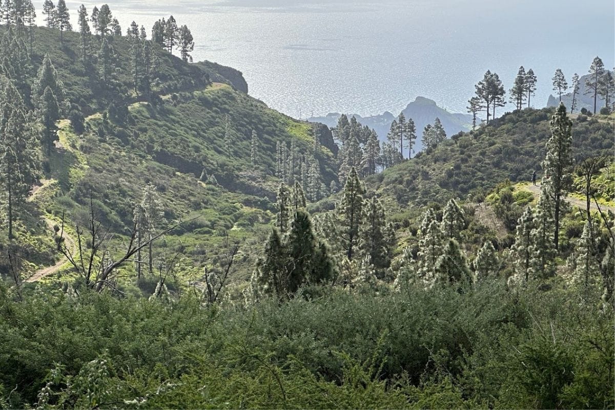
Further round, Roque Agando stands out across the surrounding slopes. This is the stretch to linger over if visibility is good. The landscape has enough depth that each bend gives you a slightly different arrangement of ridges, vegetation and sea.
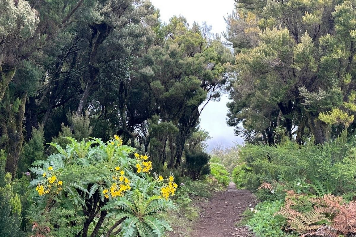
Towards the end of our circuit, the path ran roughly parallel to the GM-2 and climbed back through trees. Some sections were narrower and steeper than the opening track. Leave enough energy for that return, and expect muddy patches after rain.
The full Route 16 alternative
For a route with an official map to follow throughout, choose Pajarito - Ajugal - Pajarito. The park's current detailed page and GPS track put it at about 7.5 km with roughly 160 metres of ascent. Allow around 2.5 to 3 hours with stops.
It follows the southern edge of the park, with views towards the ravines and rocky landmarks. This is a longer outing than our shortcut, so don't mix its map with the 6 km figures above.
Use the official Route 16 description and track when planning that circuit.
What we'd take
There are no refreshments on the trail, so carry water and food. Shoes with grip are useful for the narrower sections, and a warm layer can earn its place even when the coast is sunny. The open stretches also call for sun protection.
Choose a reasonably clear day if the distant views are the main attraction, and check the park's access notices before leaving. For a more enclosed woodland walk, Las Creces offers a different atmosphere.
What we liked about Negrinas was the variety. There was comfortable walking through vegetation, then space to look out across the island and sea. The little climb near the end keeps it from being entirely effortless, but it doesn't dominate the day.