Laguna Grande, La Gomera: Two Forest Walks and a Picnic Stop
Choose a short stroll or a longer forest circuit at Laguna Grande, with route maps, facilities, photos and two Happy Backpack videos.

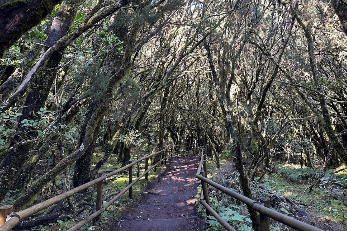
Laguna Grande is a convenient place to be undecided. You can take a short walk into the trees, spend longer on a forest circuit or stay around the clearing for a picnic. There is even a restaurant if the picnic never made it into the car.
The useful distinction is between Route 3, Laguna Grande I, and Route 6, Laguna Grande II. They start from the same recreation area but are different walks. This guide covers both, along with the clearing itself, so you can choose when you know how much walking you fancy.
Which Laguna Grande walk?
- A short forest stroll: Route 3, Laguna Grande I: about 0.5 km on the park's current mapped circuit; allow 20 to 30 minutes
- A longer walk: Route 6, Laguna Grande II: about 3.9 km; allow 1.5 to 2 hours
- Difficulty: Both are graded easy by the park, but include uneven ground and changes of level
- Start and finish: La Laguna Grande recreation area beside the GM-2
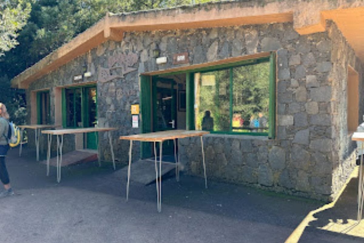
- Facilities: Parking, picnic tables, toilets, a playground, an information point and a restaurant
The short route's figures follow the park's detailed route page and GPS track. Walking around the recreation area or adding the viewpoint makes your outing longer.
Finding the recreation area
Laguna Grande is signposted from the GM-2 in Garajonay National Park. Turn into the recreation area and use the car park. The restaurant and information point make useful landmarks for finding the trail entrances.
Despite the name, don't arrive expecting a lakeside walk. The main recreation space is a grassy clearing surrounded by forest, rather than a permanent lake.
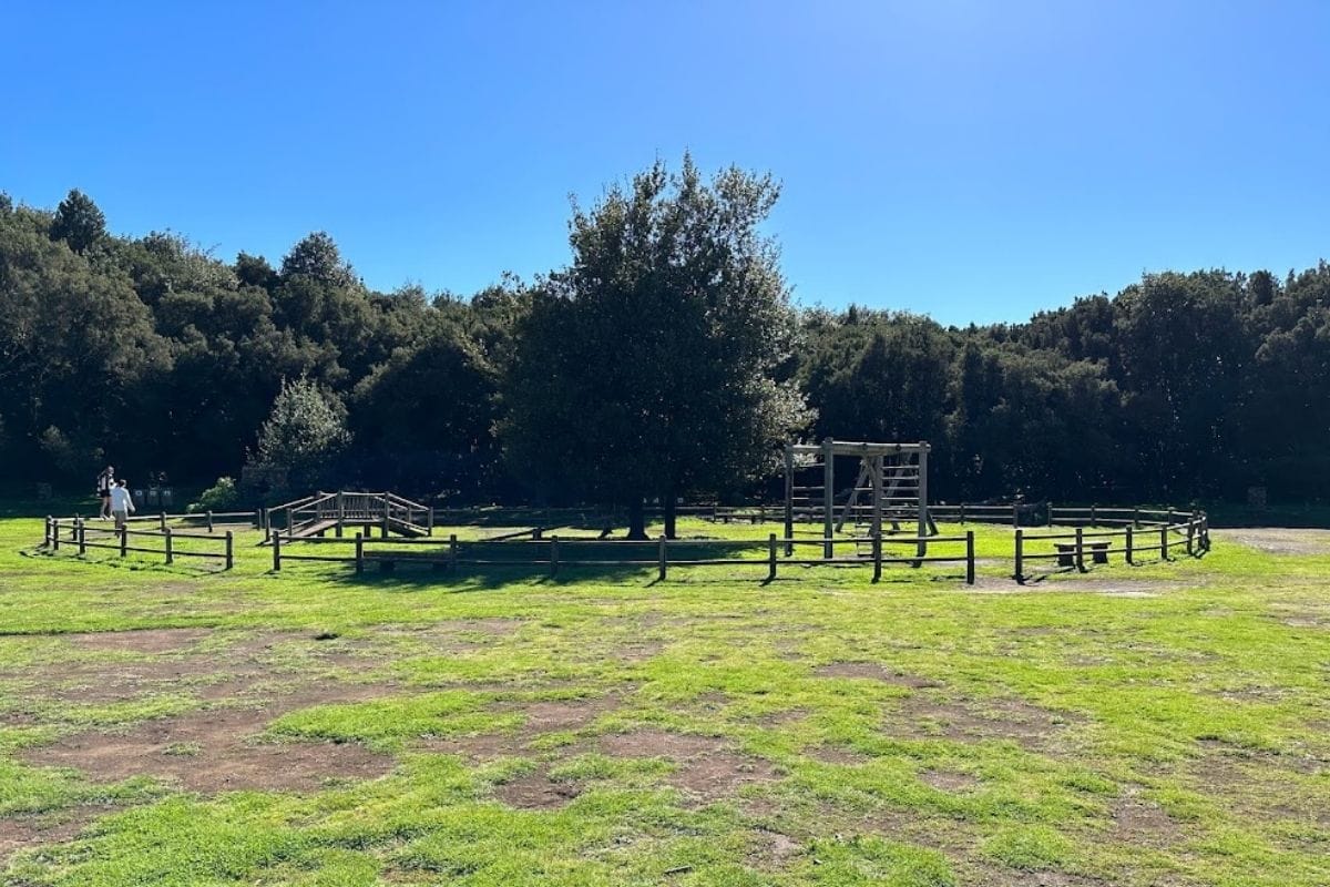
The park's recreation-area page lists the facilities. Check opening hours locally if you are relying on the restaurant or information point, and carry what you need for the walk.
Route 3: the short forest circuit
Laguna Grande I is the one to choose for a brief introduction to the forest. The entrance is between the restaurant and information point, so it is easy to combine with a stop around the clearing.
The path takes you among closely spaced trees, with moss on the branches and interpretation boards along the way. It is short enough to fit into a drive through the park, but there is no reason to hurry through it.
Expect stone and earth underfoot, with some steps and a little climbing. The park's mapped circuit is about 0.5 km with roughly 10 metres of ascent. An optional climb towards the higher viewpoint adds to the basic circuit.
See the official Route 3 details and map below. Follow the Route 3 signs rather than accidentally joining one of the longer routes from Laguna Grande.
A look inside the forest
Our Happy Backpack forest video shows the mist, moss and twisting trees around Laguna Grande. Use it for a look at the setting, rather than as a complete navigation guide to either circuit.
Route 6: a longer circuit from Laguna Grande
Laguna Grande II gives you more time away from the recreation area. It is about 3.9 km with around 110 metres of ascent, making it a manageable longer option rather than a major mountain climb.
Find the signed Route 6 start on the restaurant and toilets side of the clearing. The route passes through forest and more open ground, with changes in vegetation as you go. There are steps and uneven sections, so allow a steady walking pace.
A small viewpoint looks towards the Cabecita ravine, with El Hierro visible when the air is clear. Elsewhere, chestnut trees and cultivated areas break up the woodland. Parts of the landscape were affected by the 2012 fire, and the recovering vegetation is another reason the scenery changes along the circuit.
The park's Route 6 page explains the route and its landscape. Use the official track for the junctions and follow the signs back to Laguna Grande.
The clearing, stone circle and lunch
You don't have to go far to enjoy the recreation area itself. There is space for a picnic, a playground and a restaurant, which makes this a useful stop when different people in your group have different ideas about another walk.
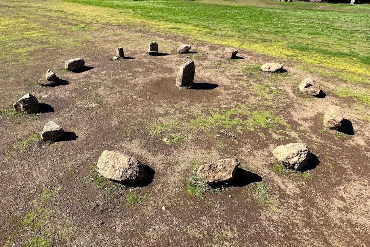
Laguna Grande also has stories of witches and gatherings in the forest. A small stone circle in the clearing adds to that atmosphere. We would enjoy the folklore without treating the circle as proof of an ancient ritual site.
Our second video looks around the recreation area, including the clearing and its facilities.
Before heading into the trees
Take a warm layer or waterproof even if your day began in sunshine at the coast. The paths can be damp, and shoes with grip are more useful than the short distances might suggest. Check the park's current notices before travelling.
If you want another short woodland walk with a viewpoint, try Raso de la Bruma. For a longer spell of quiet forest walking, Las Creces is another option.
Laguna Grande works particularly well when you want some flexibility. Choose the short path, the longer circuit or a leisurely look around the clearing. Having lunch close at hand makes all three plans rather easy to defend.